

Data seen from space
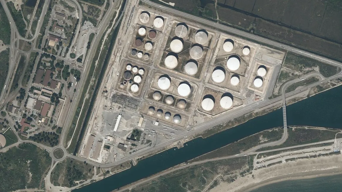 © IGN
Our software belongs first to our engineers: designed for our own studies, it is used every day on our projects.
Our applications serve civil and industrial uses, security and defence. Each of our calculation tools plugs into a single modular platform.
What the satellite observes, our engineers turn into decisions.
Mapping identifies the infrastructure; our engineers analyse the construction types and compute them with proven models, interpret the regulations, then define the protection measures. Each client keeps their data, hosted securely.
© IGN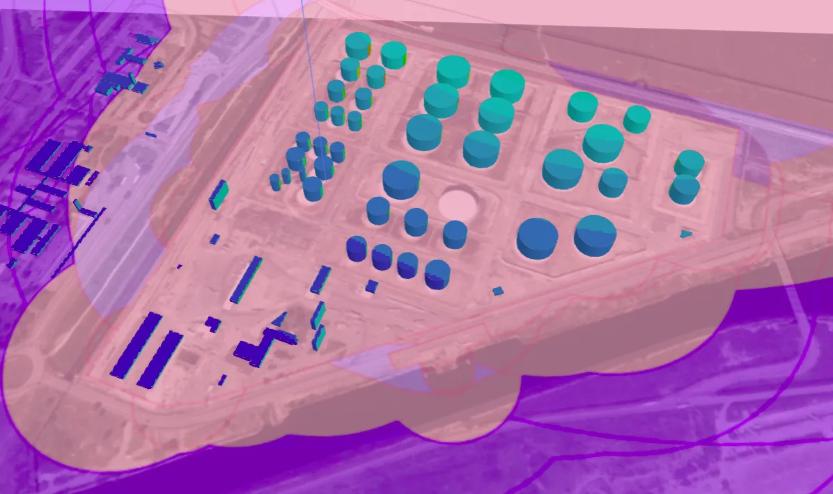 © BS&A
They quantify the effects of dynamic loading and qualify the damage, in light of the context of each study and the applicable regulations.
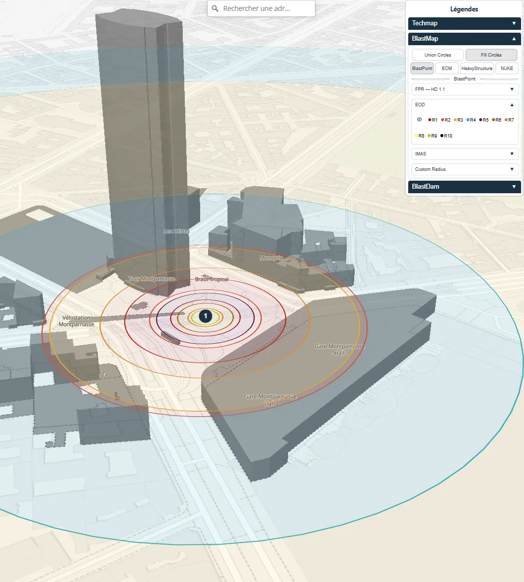 © BS&A
Our tools calculate quickly, using simplified methods. Each one has been checked against full studies and real tests, and is only used in the cases checked this way.
Every result comes out as a dated, versioned sheet: it cites the standard it derives from and states its domain of validity.
Our tools are developed to ISO 19443 and checked against real test results, obtained on our own site: a result can be justified to an inspection body or an authority.
Standards
Certifications
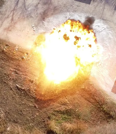 © BS&A
A basic calculation that shows the thresholds of the French pyrotechnic regulation.
Effects on people
Calculation offered according to the thresholds of the relevant French regulations. Indicative, non-contractual values that do not constitute a calculation report. Impulse and wave shape require a full study.